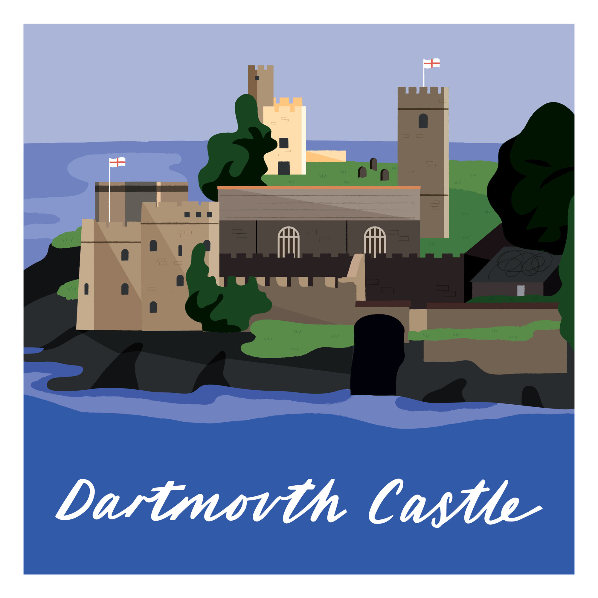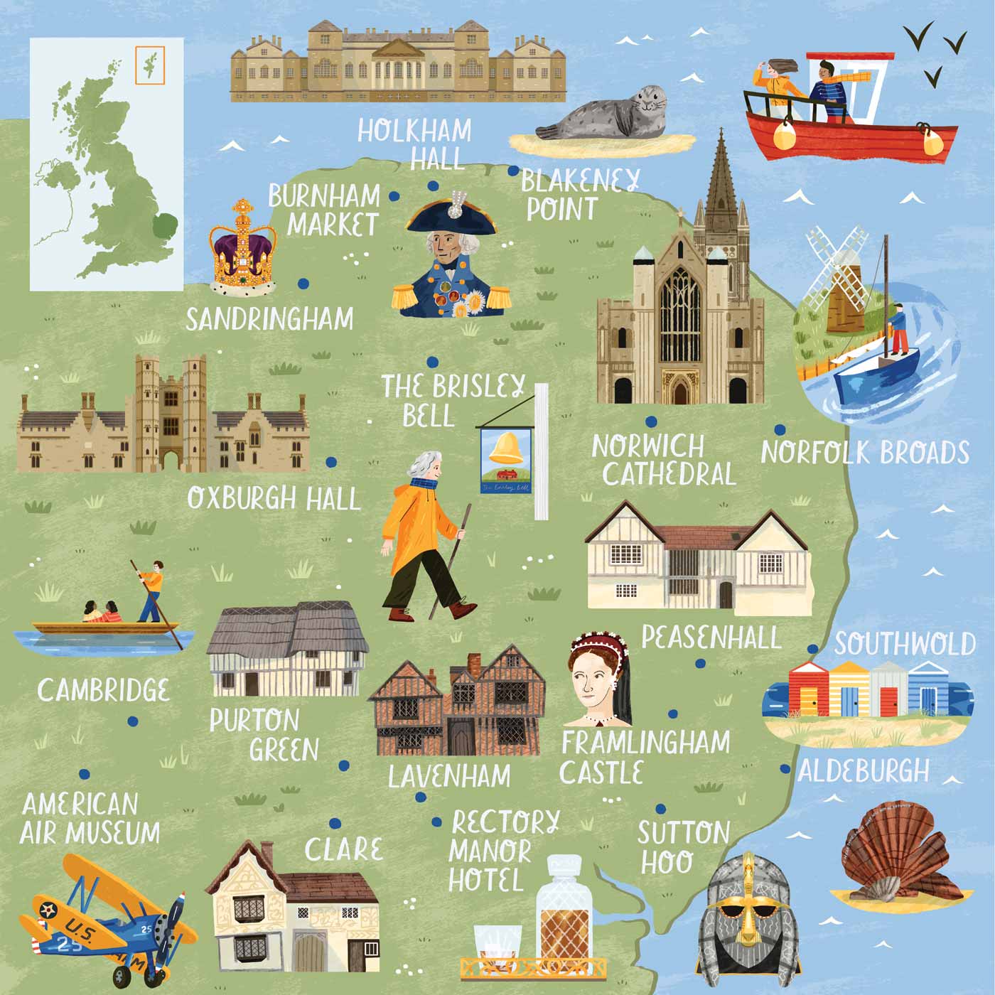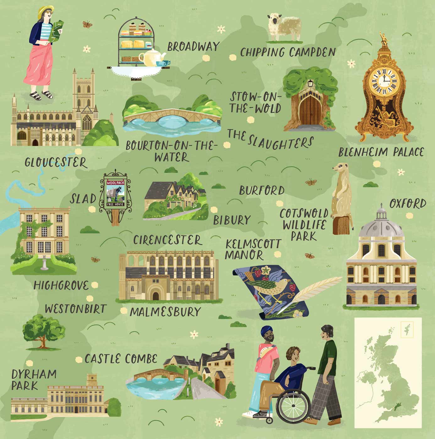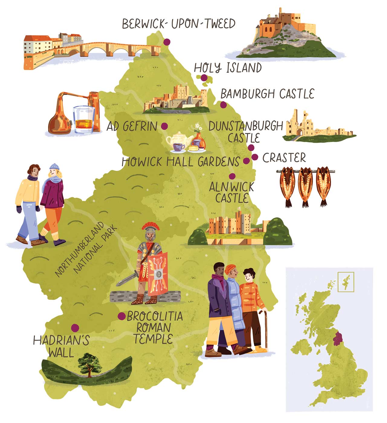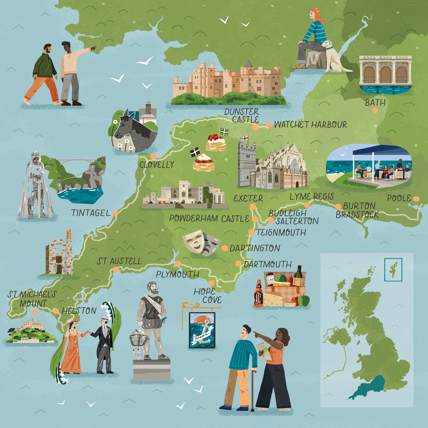
An illustrated map of Dartmouth
Helping a ferry company promote its service
I was asked to illustrate a map for the Dartmouth Higher Ferry, in Devon UK. The ferry is a great local asset, helping people avoid a 25 mile round trip between Dartmouth and Kingswear. The map needed to highlight the benefits of using the ferry and also show all the beautiful places you can reach if you use the ferry in part of your trip. The map is displayed on their website and also as part of a brochure.
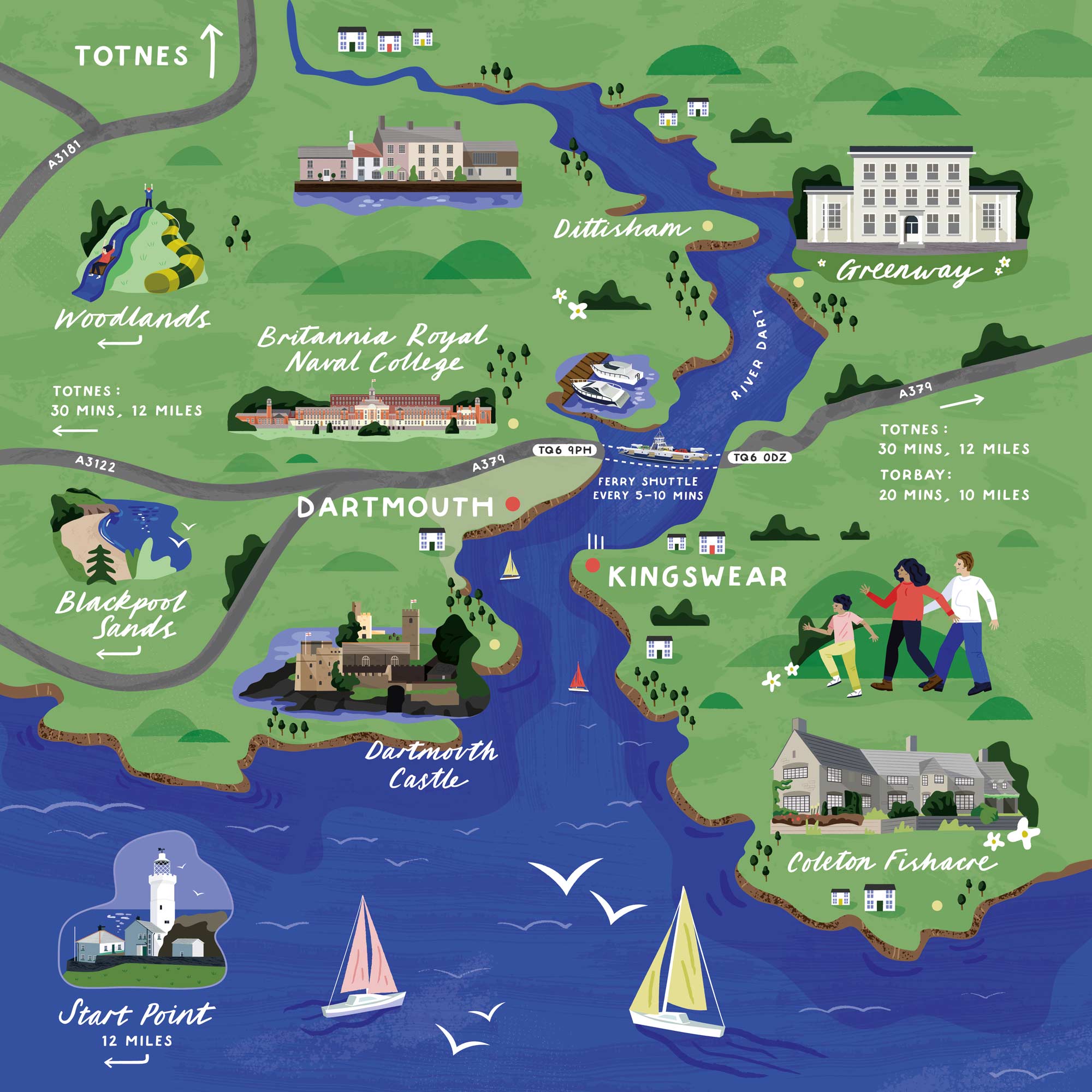
I love Devon, as my grandparents used to live just outside of Exeter. I've got so many memories of trips there as a child, however I've not really explored the South Devon area where the Dartmouth Ferry is located. Boy, do I think I'm missing out. It looks stunning. Old castles, lonely lighthouses and stately homes. It's on my list now for sure.

As the exact copy for the map wasn't decided at the time of briefing, I created some custom hand lettering for this map which allowed me to be flexible with the text that was on the map.

Having multiples of each letter really adds to the hand made feel of the illustrations.
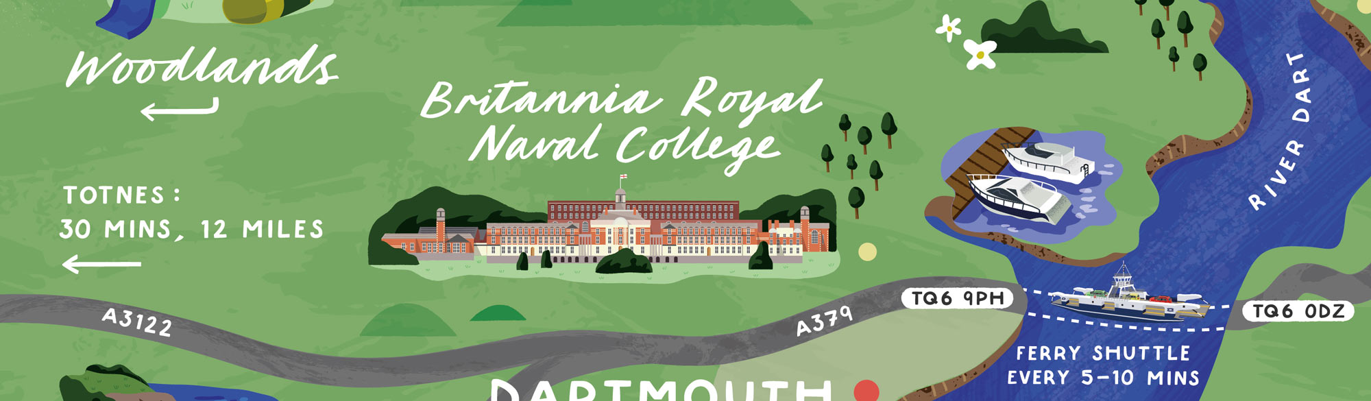
Some of the buildings pictured were prettty intricate. Here's looking at you Britannia Royal Naval College. All those windows...